 |
|
HOME | The Pilots | The
Plane | Pre-Flight | Itinerary | Latest | Flight
Following
| Discussion | Newsletter | Email
![]() Join
the Ponceby Newsletter Email list for
news about the next flight
Join
the Ponceby Newsletter Email list for
news about the next flight
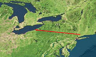
Meadville to Boulder Danbury to Meadville Maine to Danbury
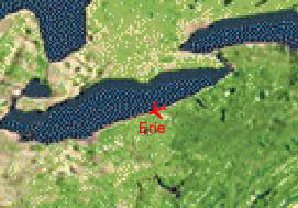
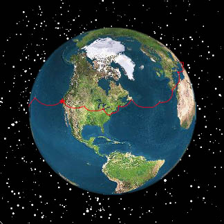
Live Satelite Image
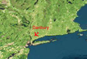
Satellite data provided by The Living Earth ® Inc./Earth Imaging © 1996, All Rights Reserved. Leg 20 KDXR-KGKJ Danbury,CT - Meadville,PA 21 Aug 98 1.9 hours
Today’s flight takes us over the Hudson River at West Point, then over Pennsylvania’s Pocono Mountains and westward nearly to Lake Erie.
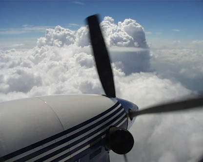
Cumulus buildups over the Appalachians top out at over 18,000 feet. We fly at level 200 and have a beautiful view.
"The climb through these clouds polished the wings nicely"
"Over Pennsylvania’s Pocono Mountains"
We plan to fly the GPS approach into Port Meadville, the nearest airport to John’s family farm. Even though these approaches have been available for several years, they are often seldom flown. Consequently, the controllers are often unfamiliar with them, and this was the case at Meadville. Even after two requests for the GPS approach for runway 25, the enroute controller insists that we intercept the localizer for a more conventional localizer approach. Handed off to the approach controller, we make a final plea for the GPS procedure and are promptly cleared for the localizer approach! We give up, fly the localizer and land.
We devour a farm-fresh meal that John’s mother has prepared. After a month of hotel food, it’s a real treat. Doug stays at the Riverside Hotel, a turn-of-the century wooden affair with no telephones. It’s a bit rustic but they throw in tomorrow’s turkey sandwiches gratis.
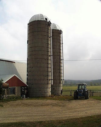
"A view of John’s family farm"
 |
Satellite data provided by The Living Earth ® Inc./Earth Imaging © 1996, All Rights Reserved.
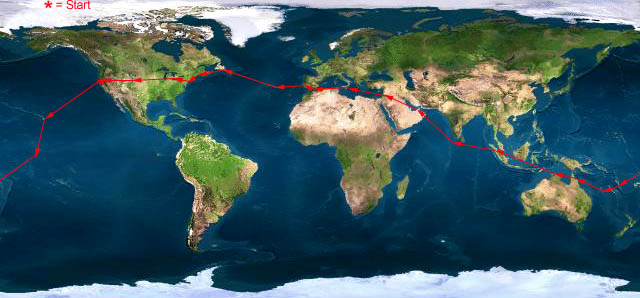
Click near each end of the red arrows for progressive reports
Click the following
Legs for Progressive Reports
|
Current position of
Ponceby.
Satellite
data provided by The Living Earth
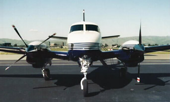
The E90 King Air "Ponceby" |
HOME | The Pilots | The Plane | Pre-Flight | Itinerary | Latest | Flight Following | Discussion | Newsletter | Email
Join the Ponceby Newsletter Email list for news about the next flight
Website Sponsored by
Webbnet - Internet Solutions